This is a personal blog about my travels and walks of life. Wherever I have been, what I have learned from each place, and memories that I have shared with every step of the way.
Travelling has always been my little dream. I mean, it’s everybody’s dream – to travel the world. To see wonders, to be amazed by nature, to be wowed by God’s arts.
Compared to others, I have traveled but a little distance and I have gone as far as the outskirts of the Philippines, but for me it’s always a blessing to have a glance at the world. And when the right time comes, and I have all the necessities, I shall go farther and walk higher.
Among all the places I have been, the most fulfilled journey I finished was walking up to Mount Ulap.
MT. ULAP ECO-TRAIL
Itogon, Benguet
Entry point: Brgy. Ampucao, Itogon
Exit point: Brgy. Sta. Fe, Itogon
LLA: 16.2904 N, 120.6312 E, 1846 MASL (Mt. Ulap)
Days required / Hours to summit: 1 day / 2-3 hours
Specs: Difficulty 3/9, Trail class 1-3,
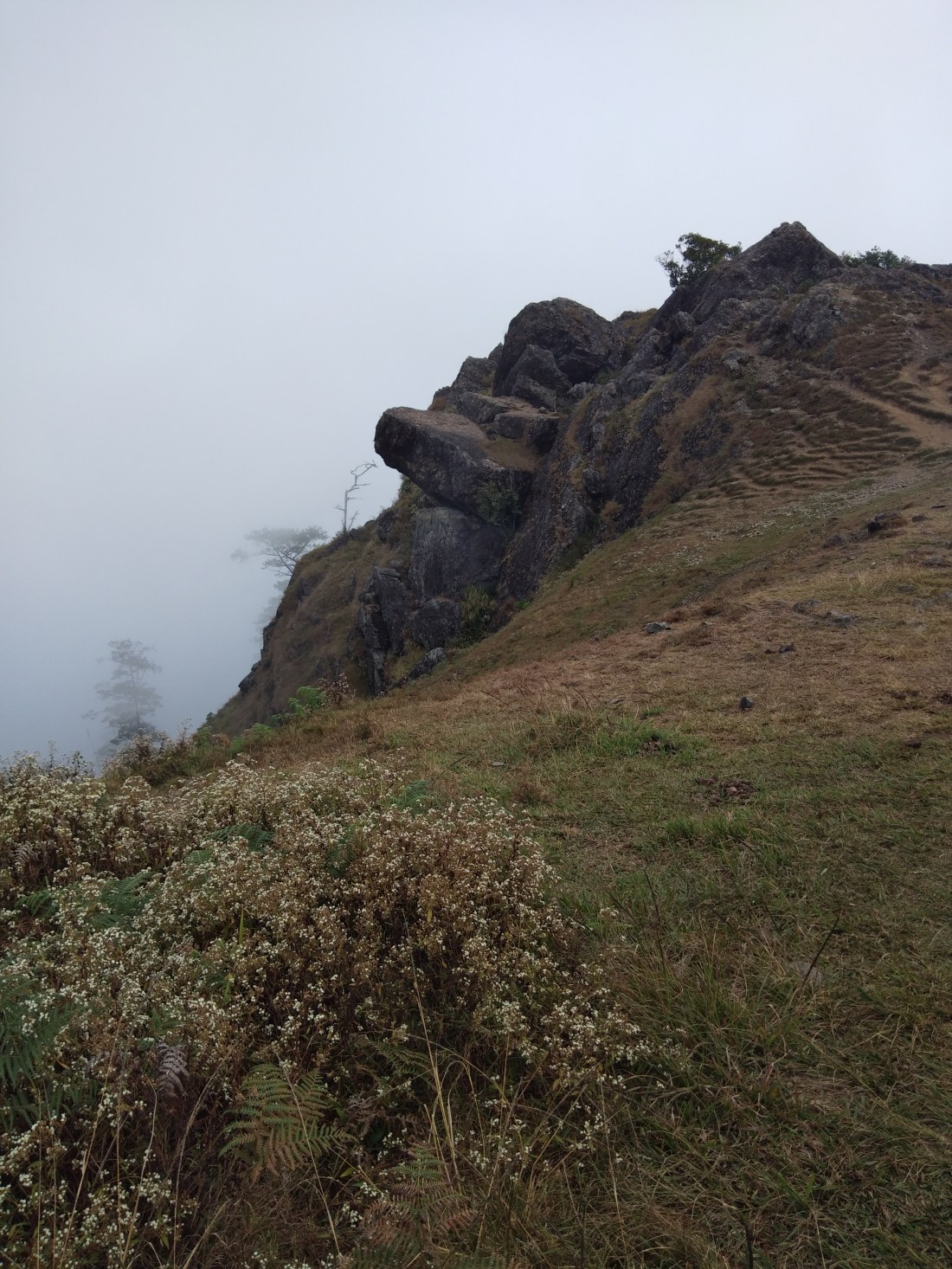
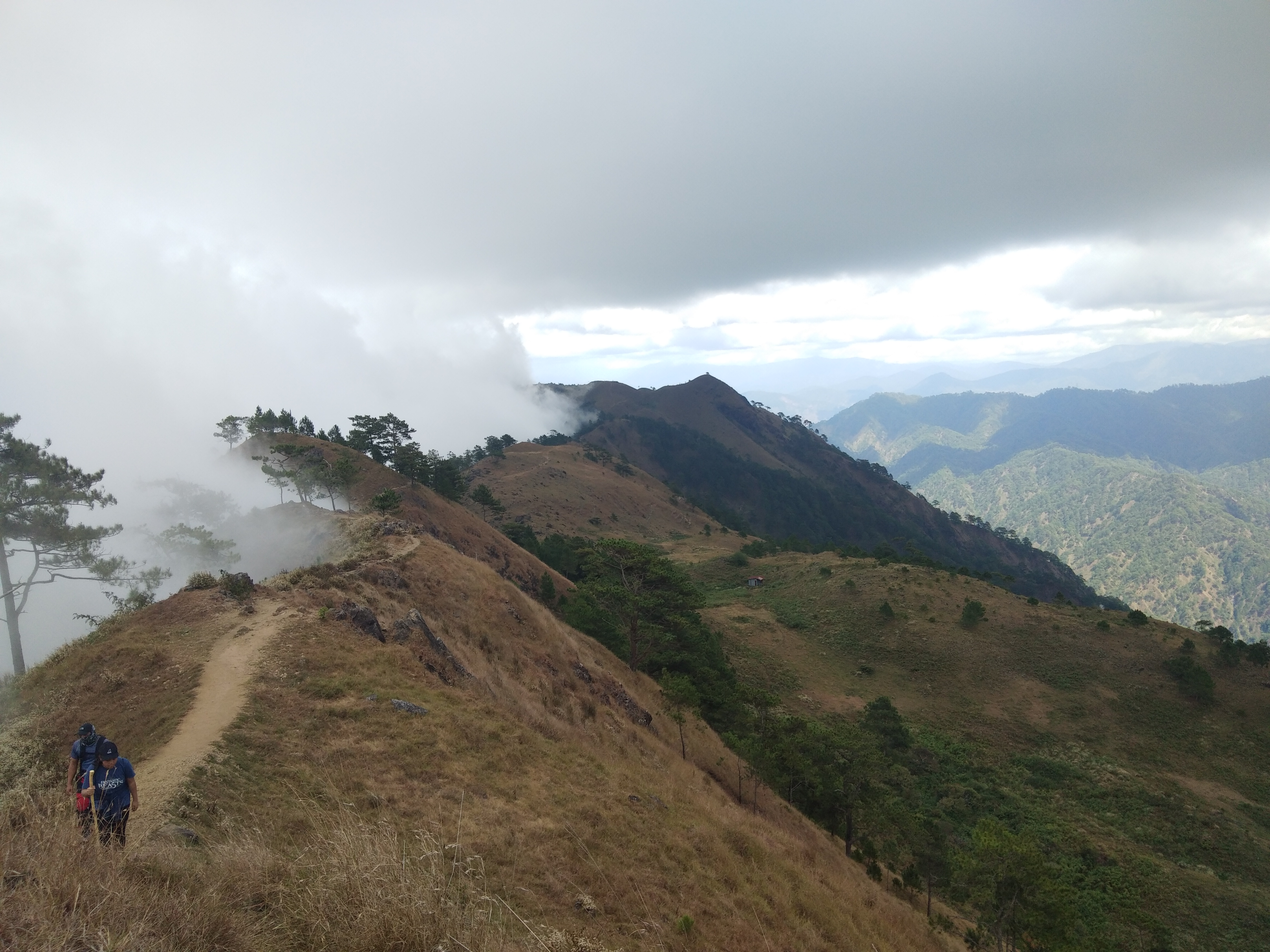
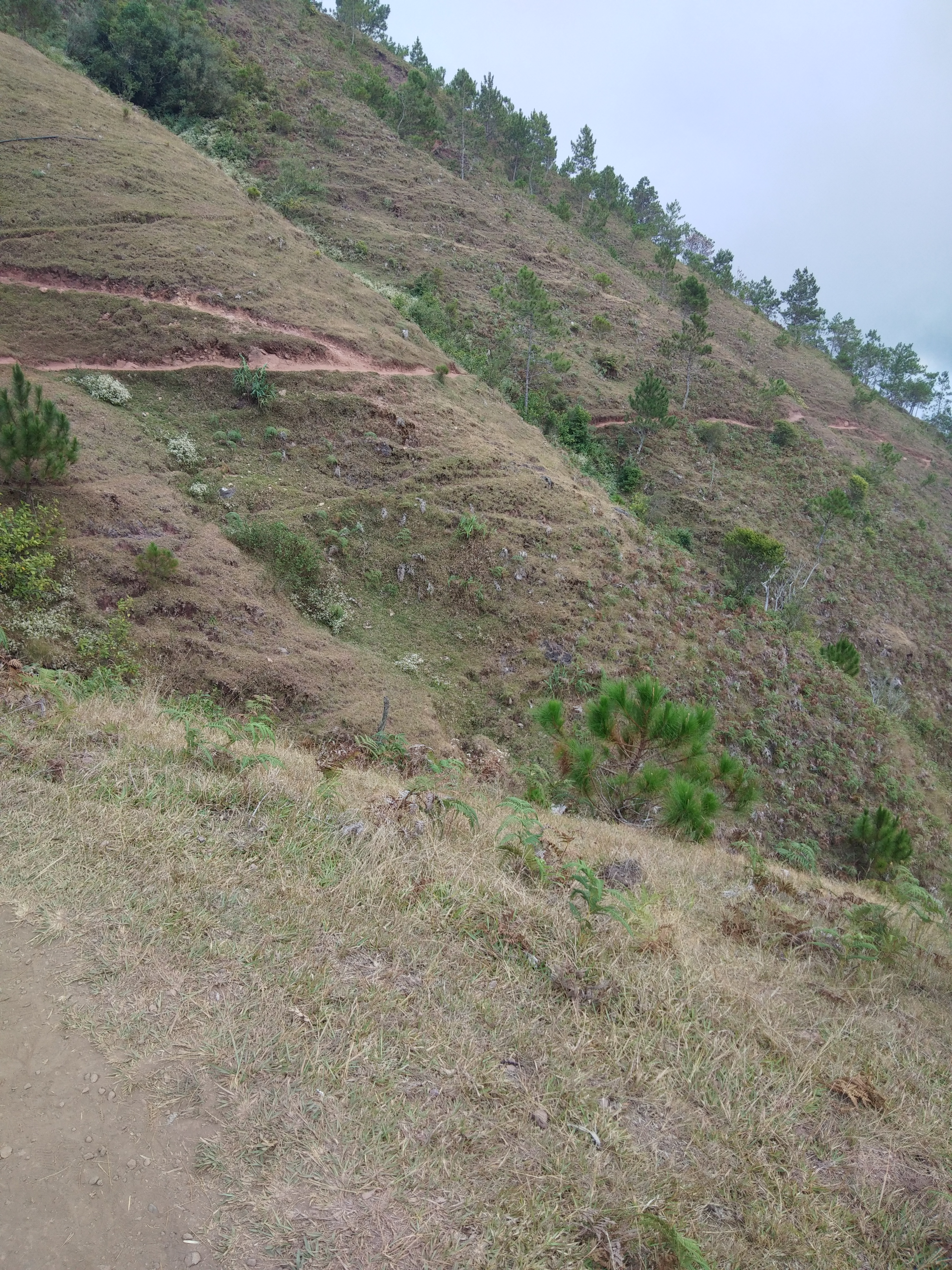
Features: Grassland and pine ridges, scenic views of the Cordilleras, burial caves
Article history: Created 30-Nov-2015 by Gideon Lasco
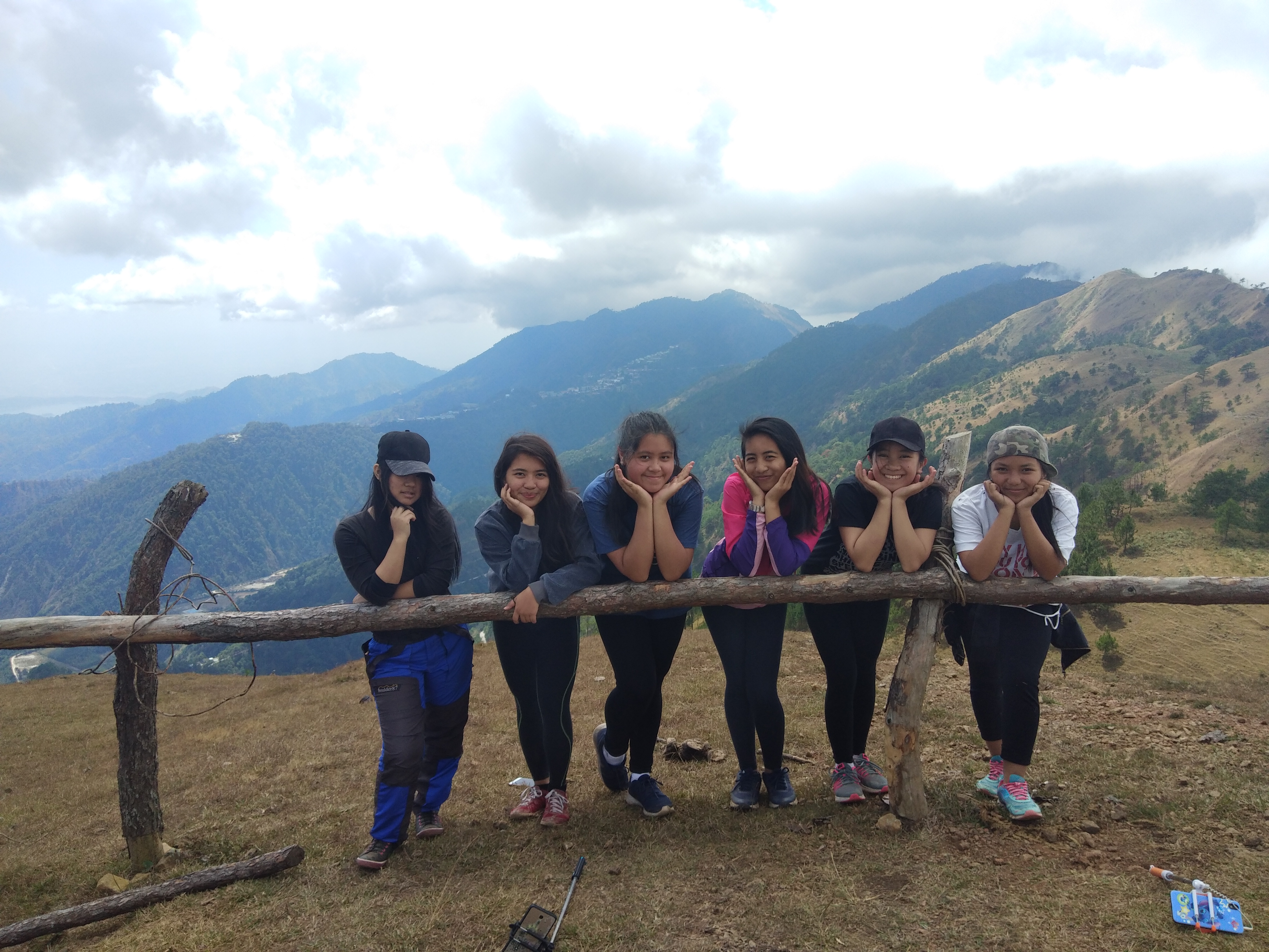
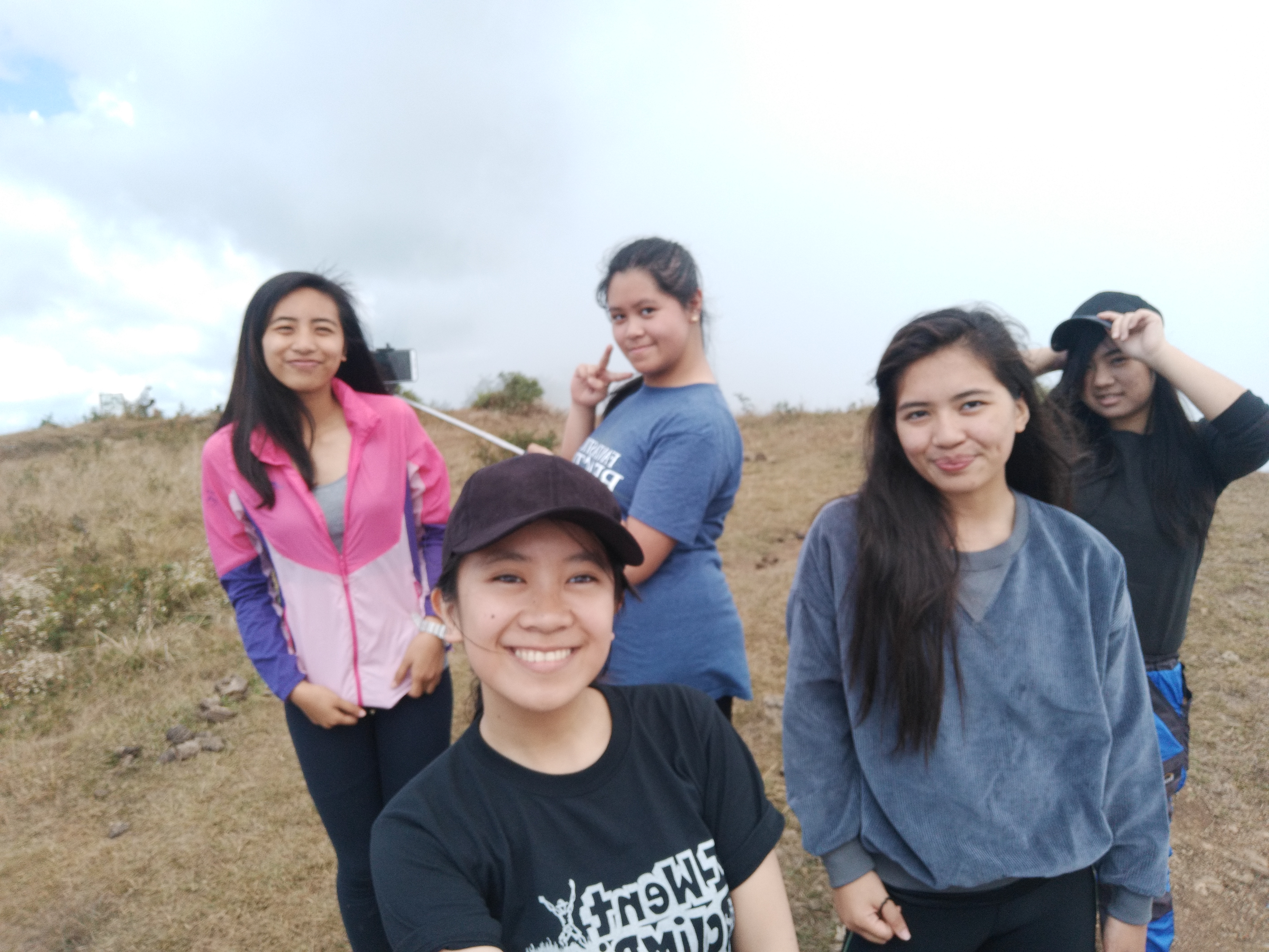
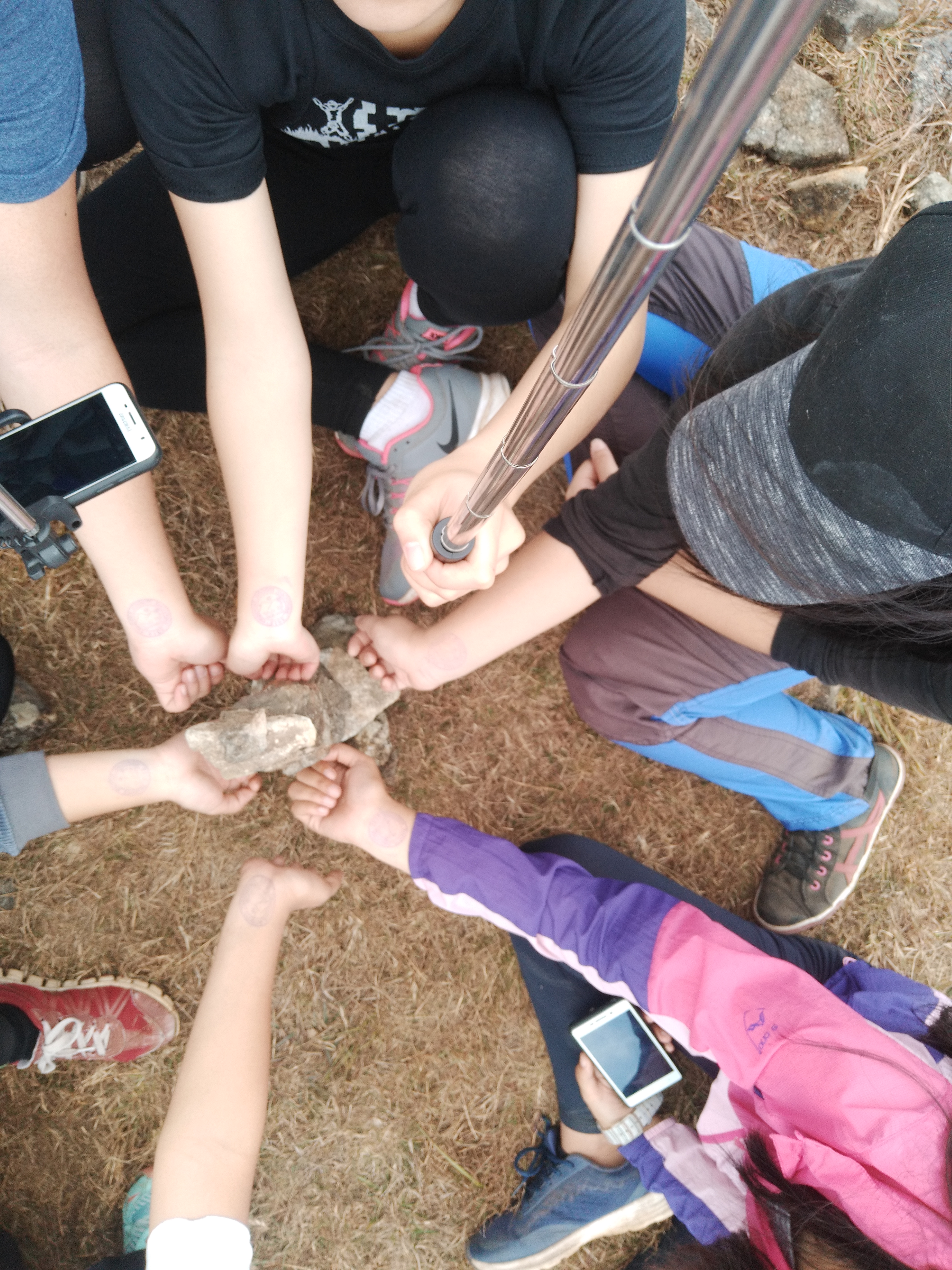
Together with my friends, we have decided to take the challenge of finishing the Trail of Mount Ulap.
Early in the morning, we decided to meet up at the jeepney Station going to Barangay Ampucao, Itogon Benguet. The travel time was approximately 30-45 minutes. When we got there, we immediately went to the Barangay Station where the registration took place.
Registration fee: Php 100.00 per head (Student) – P25
Taxi fixed rate (Baguio to Ampucao): P400
Jeepney (Ampucao to Baguio): Php 30.00 per head
Tour Guide Fee : (1:7 pax) P600
*They also sell sticks (tungkod) for those who want to have them. The price is around P25.00.
After the registration, our tour guide gave us a few reminders and a brief discussion about the hiking that will take place. We walked out of the barangay to the Eco Trail Entrance. Our tour guide again informed us about the stages of the hiking.
After registration and a brief orientation, we check our personal belongings, food and drinks. Do not worry if you didn’t bring anything, there’s a bakery shop near the first leg.
The First Peak is the AMBANAO PAOAY with 1788 mASL;
The Second Peak is the GUNGAL with 1814 mASL ; and
The Third Peak and last peak, MOUNT ULAP with 1846 mASL
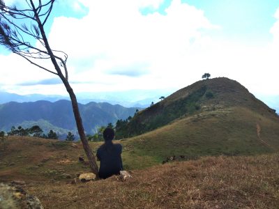
Every step all the way up was worth all the breath-taking view of nature and endless sea of clouds flashed right in front of our eyes.
After the long journey, we rested for a couple of minutes in a small hut beside the highway while waiting for our transportation to arrive.
There’s truly nothing more fulfilling than finishing something you thought was impossible. and on the process, the way always gets harder and complicated.
Truly, it mimics the way of life that hikers often say. Sometimes you go up, sometimes you go down, often times you stumble and fall. But what’s important is that, you never want to give up because you know it will end somehow. And at the end of the day, all these things will surely pay off as long as you have the will and passion to finish the race.
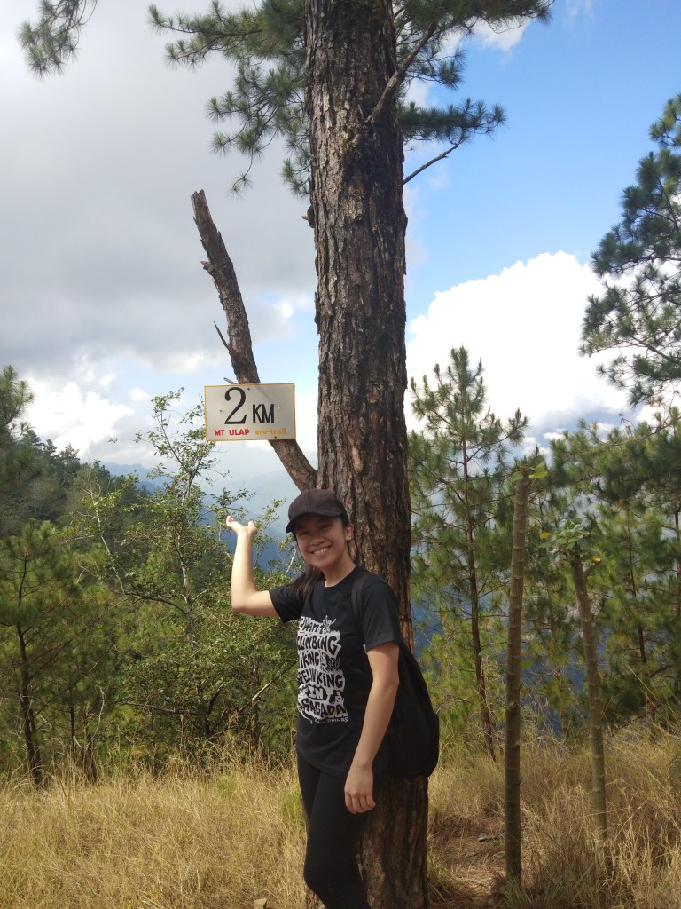
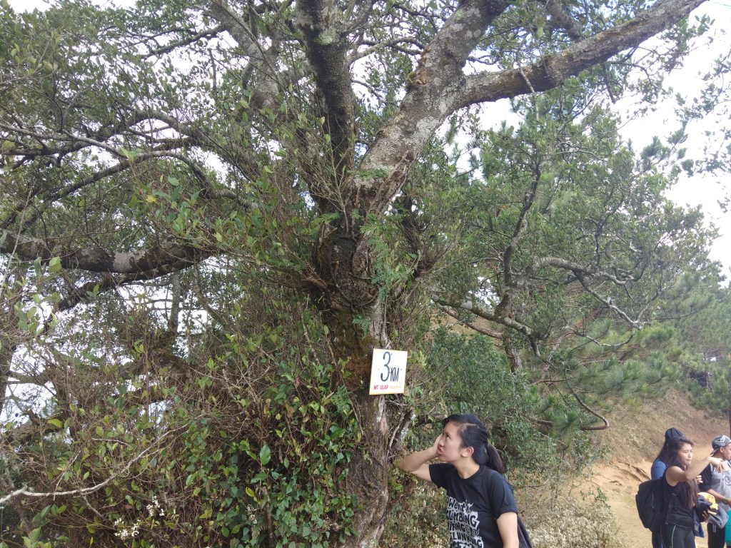
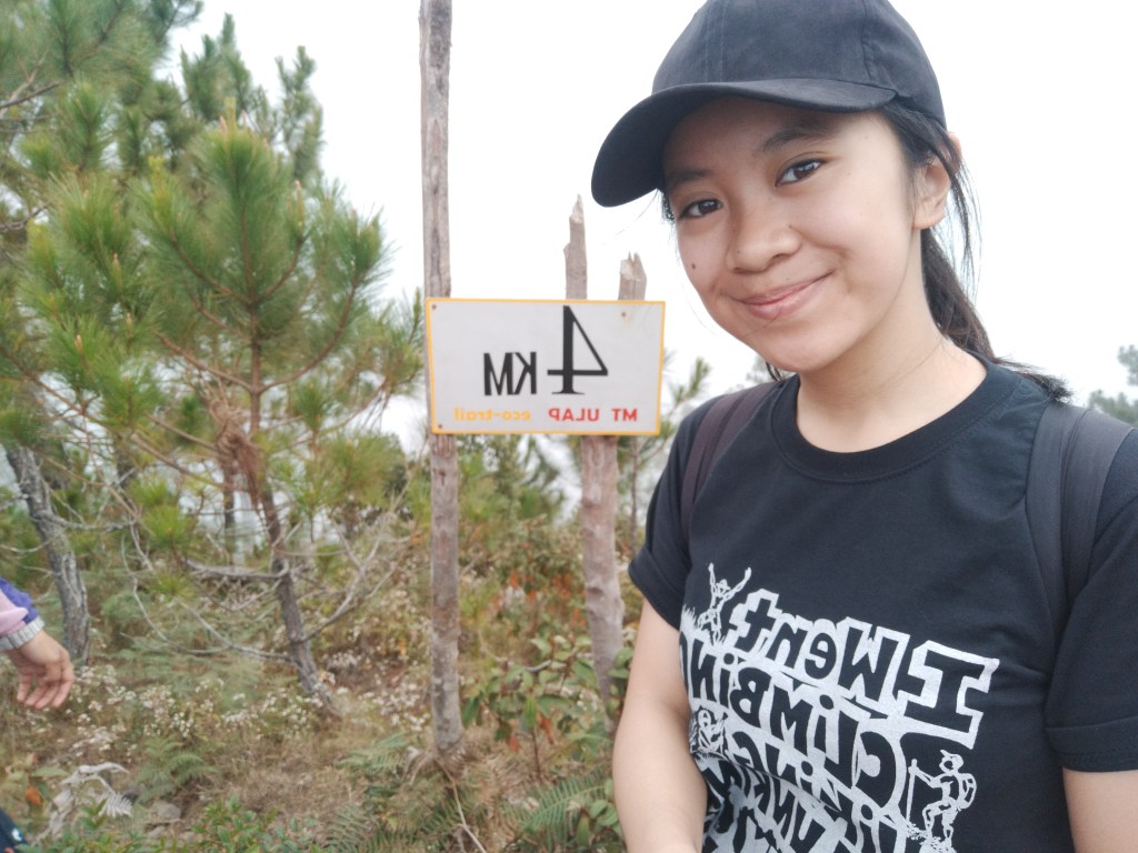
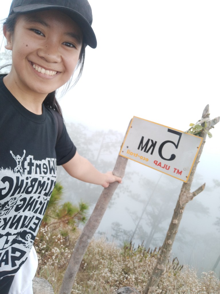
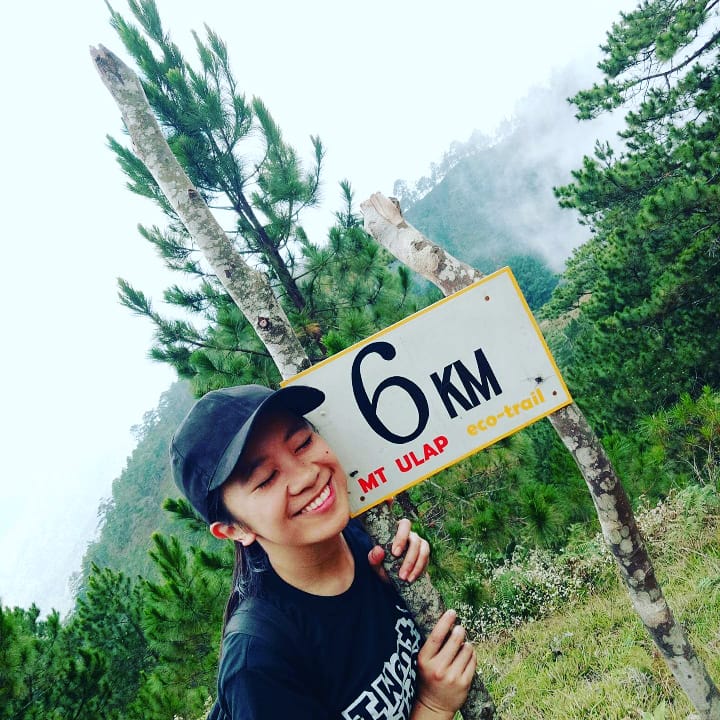
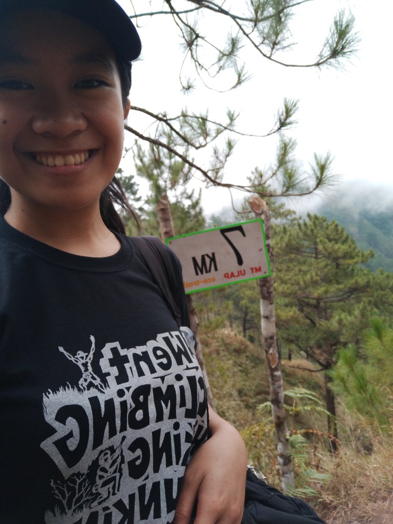
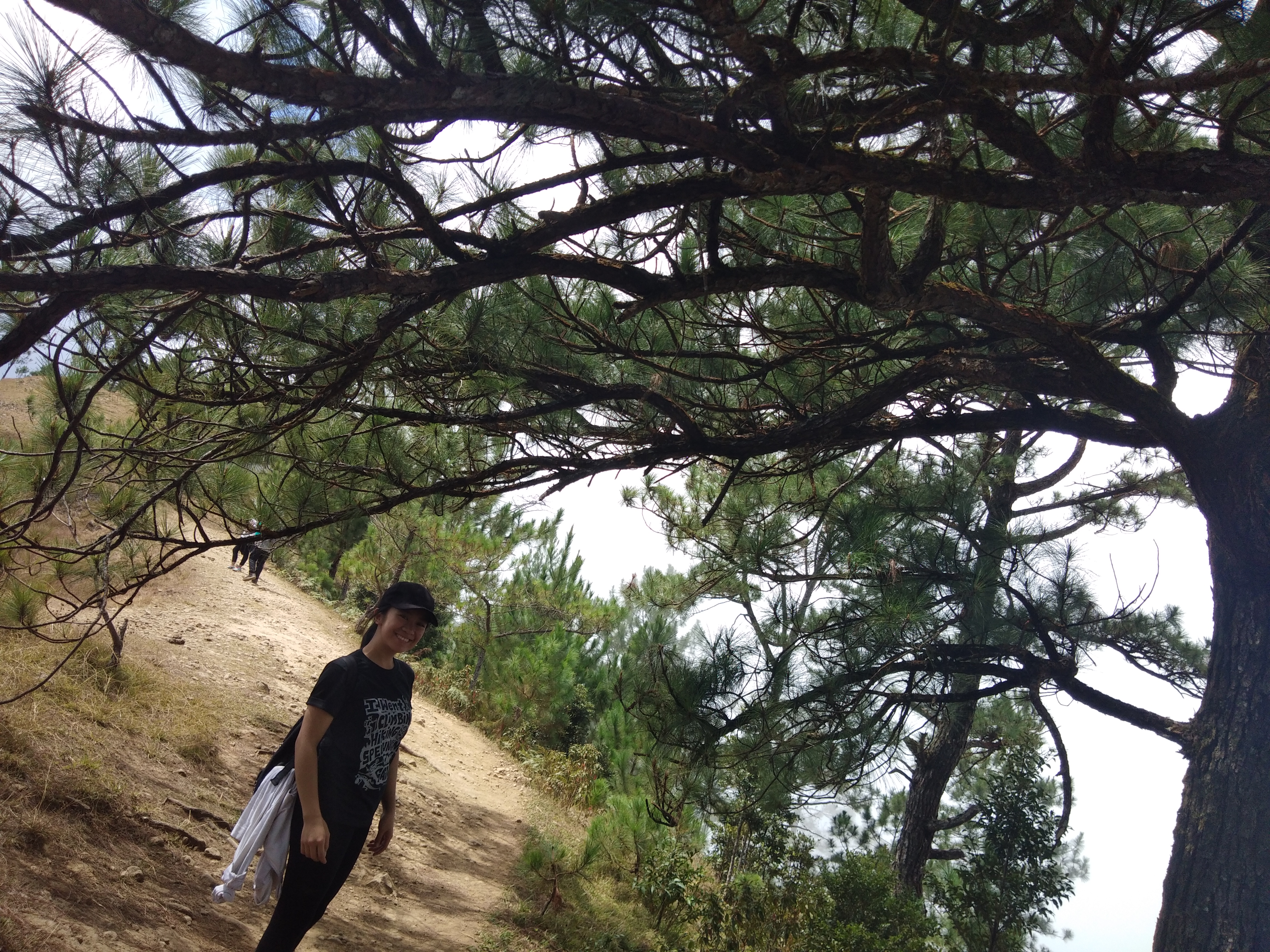
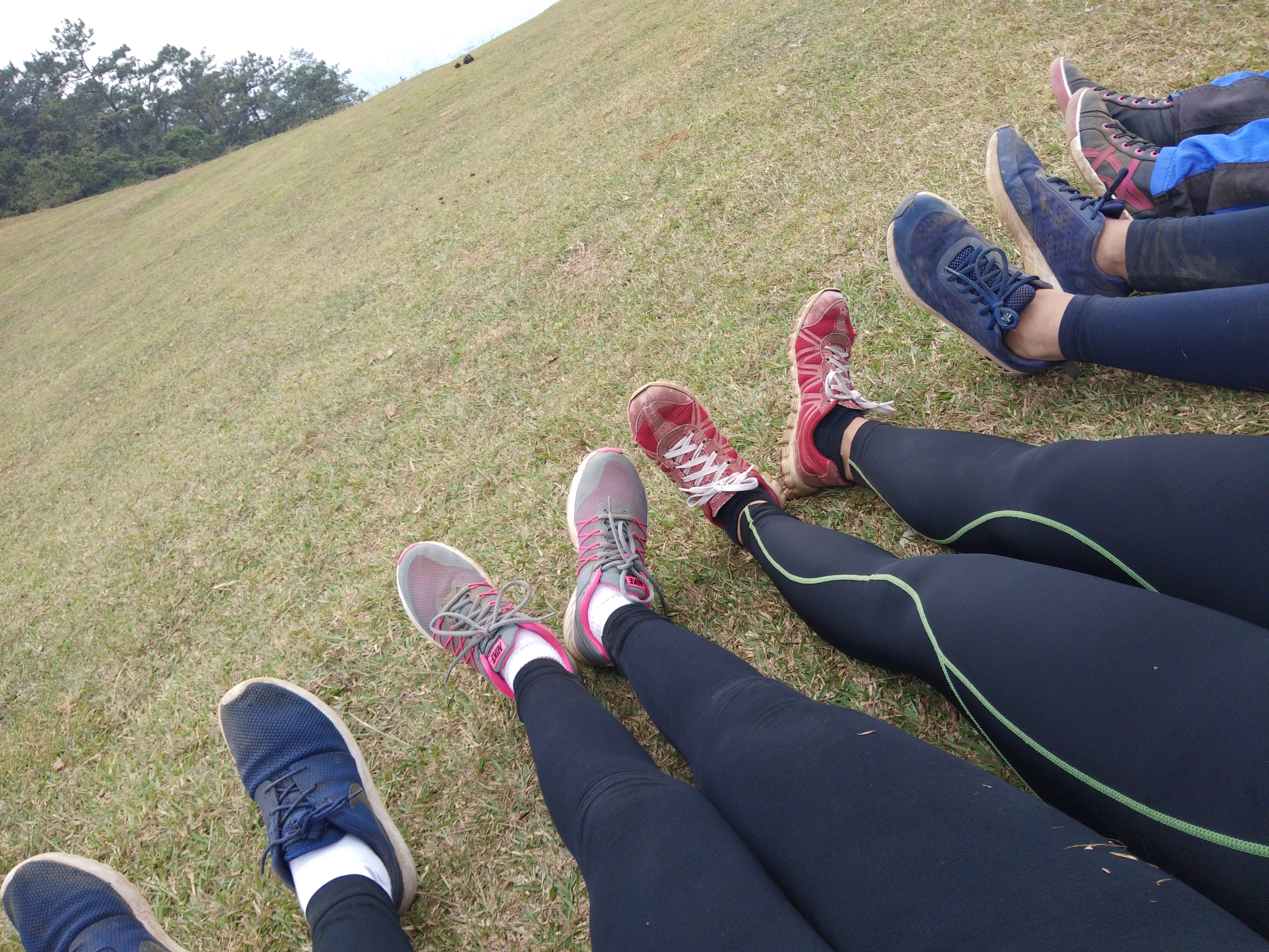
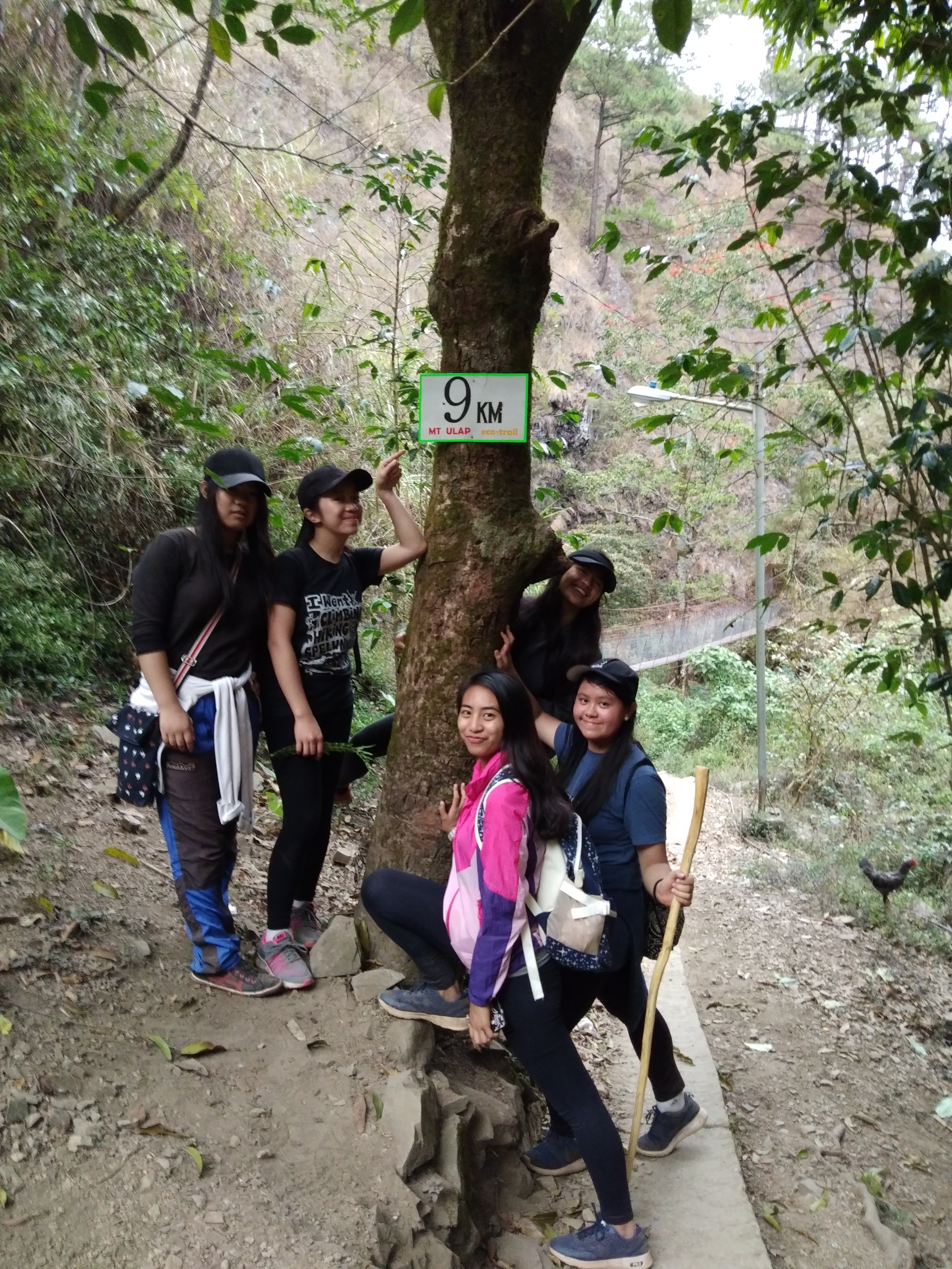
And, because every kilometer counts, I decided to take a picture of every kilometer I would pass by. I missed the first kilometer because it was late when the idea came to my mind! But anyways, enjoy!
*No captions needed, I shall let the pictures speak for itself ;)*


I hope you enjoyed walking with me! ‘Til my next blog!
